![cheap land for sale in [market_city] [state]](https://image-cdn.carrot.com/uploads/sites/54589/2016/03/selling-your-land.jpg)

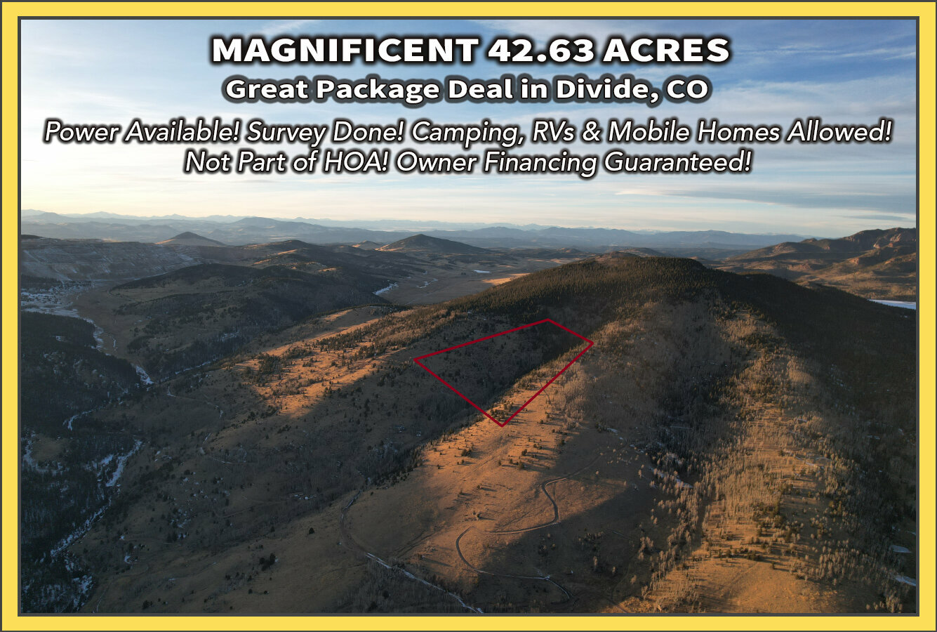


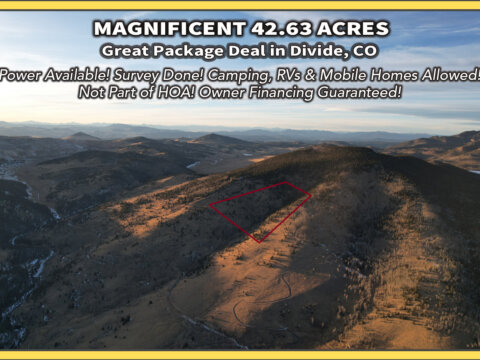
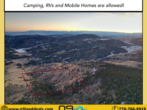


42.63-Acre Triple Lot in Teller County, CO! Less than 10 Miles Outside Cripple Creek! Power Available! Survey Done! Camping, RVs, and Mobile Homes Allowed! Not Part of HOA!
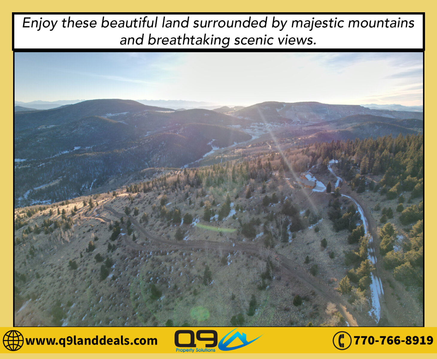
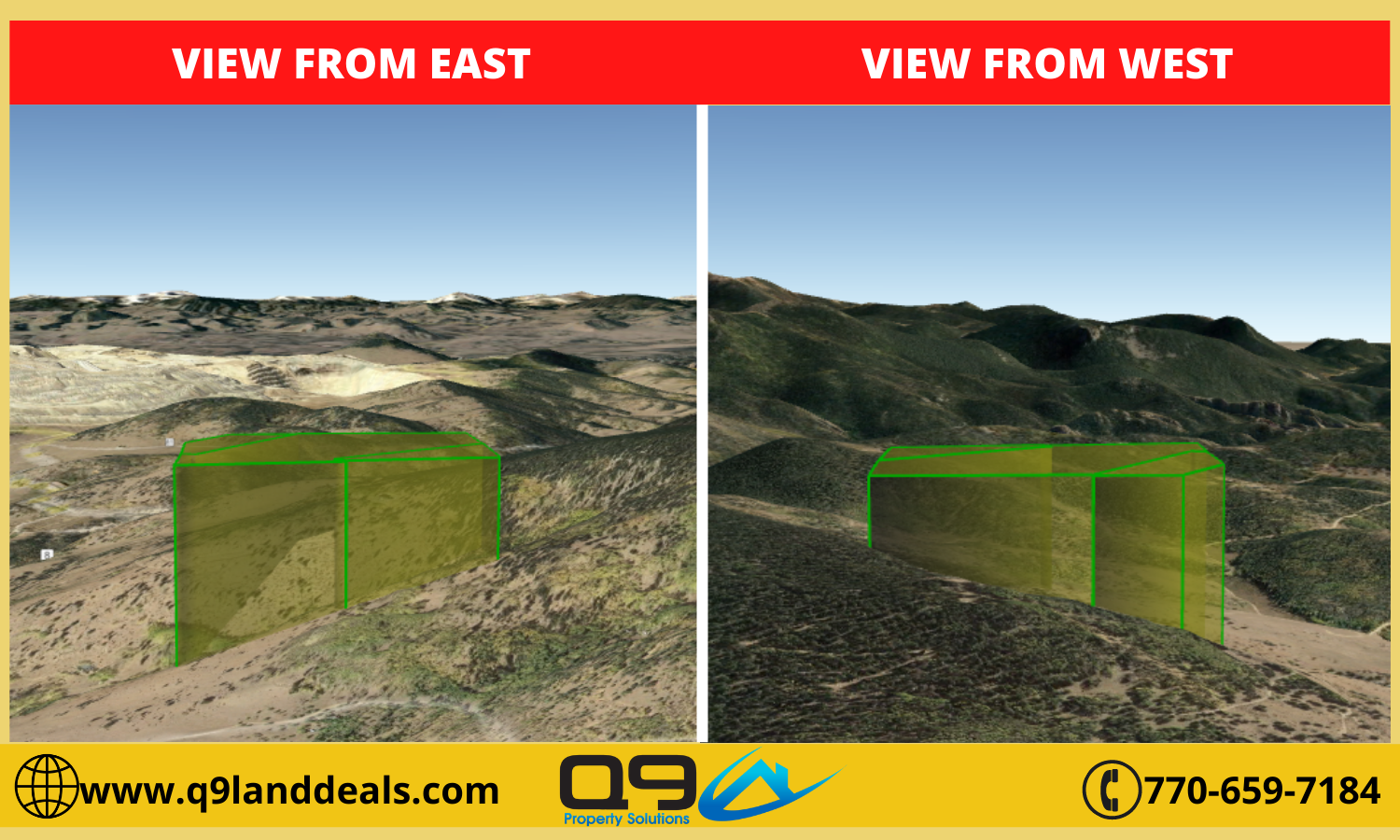
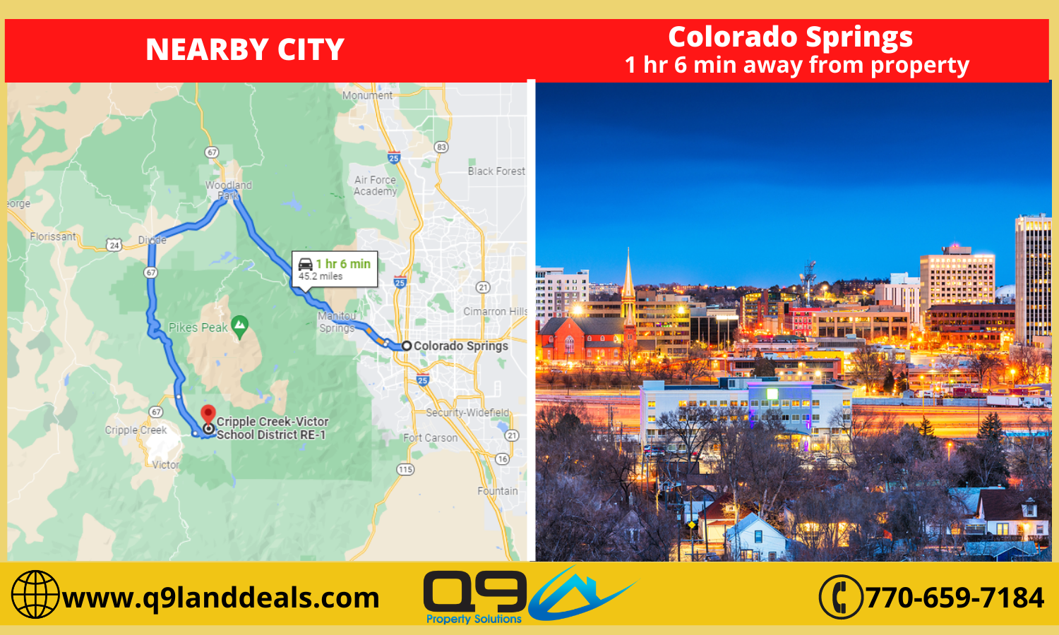
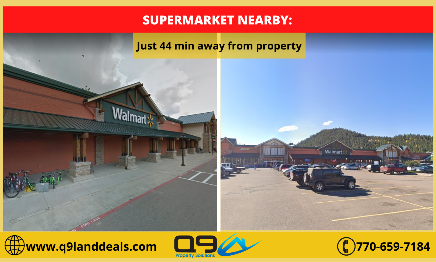
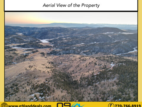
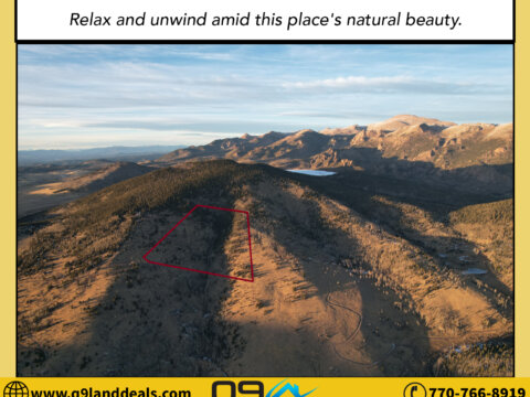
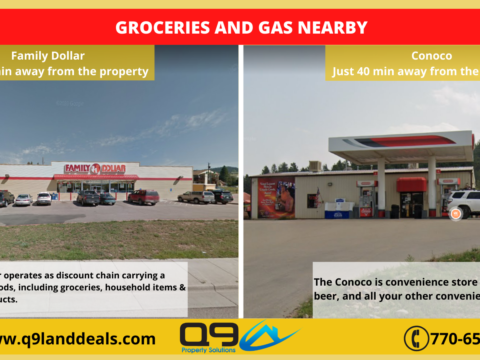
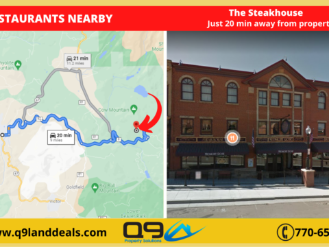
Tucked in the gorgeous tree lines of Teller County, away from the hustle and bustle of the city streets, lies a whopping 42.63-acre 3-parcel gem that’s perfect for your dream home. Its secluded location guarantees pristine surroundings while still providing excellent accessibility thanks to the nearby Lazy S Ranch Rd. that makes it easy to reach the thriving community of Cripple Creek in less than half an hour.
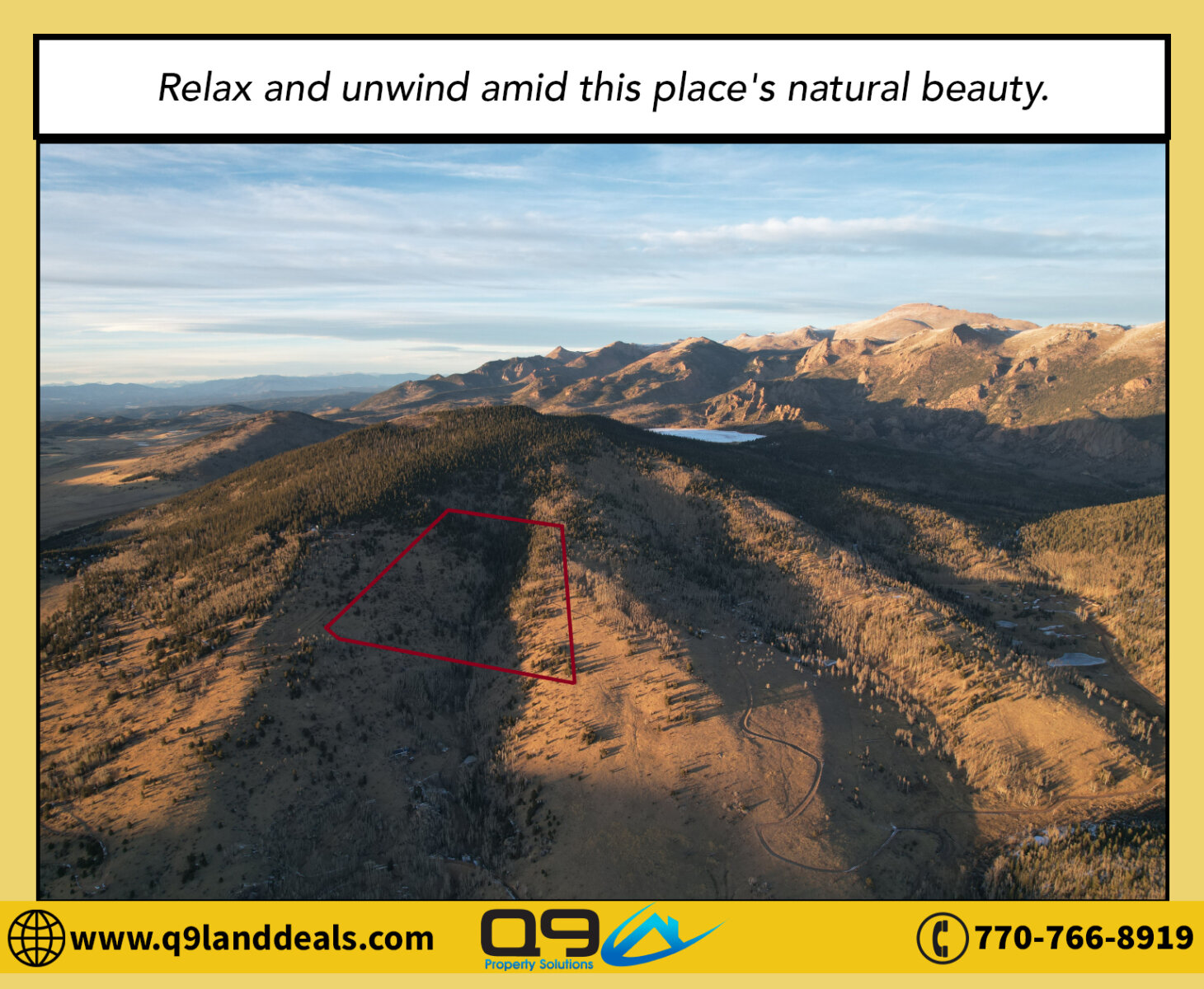
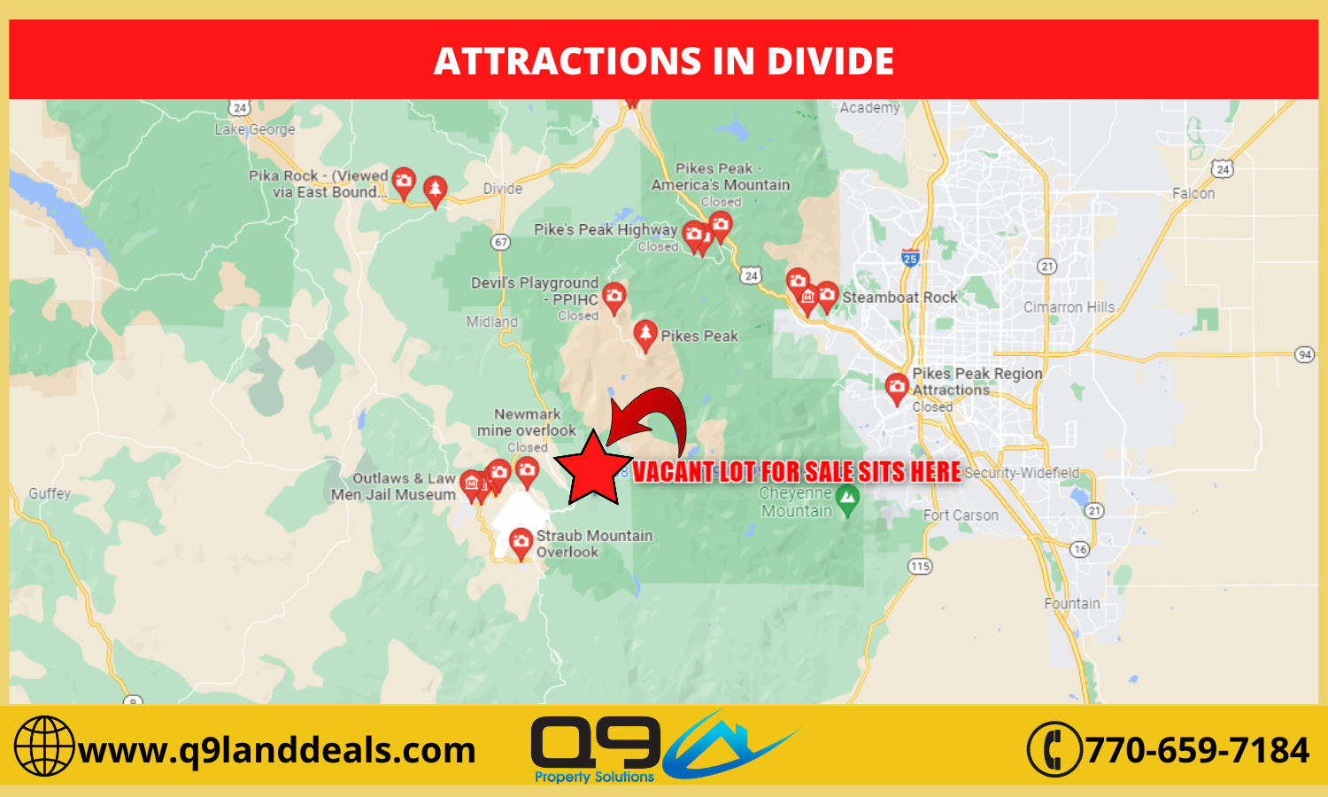
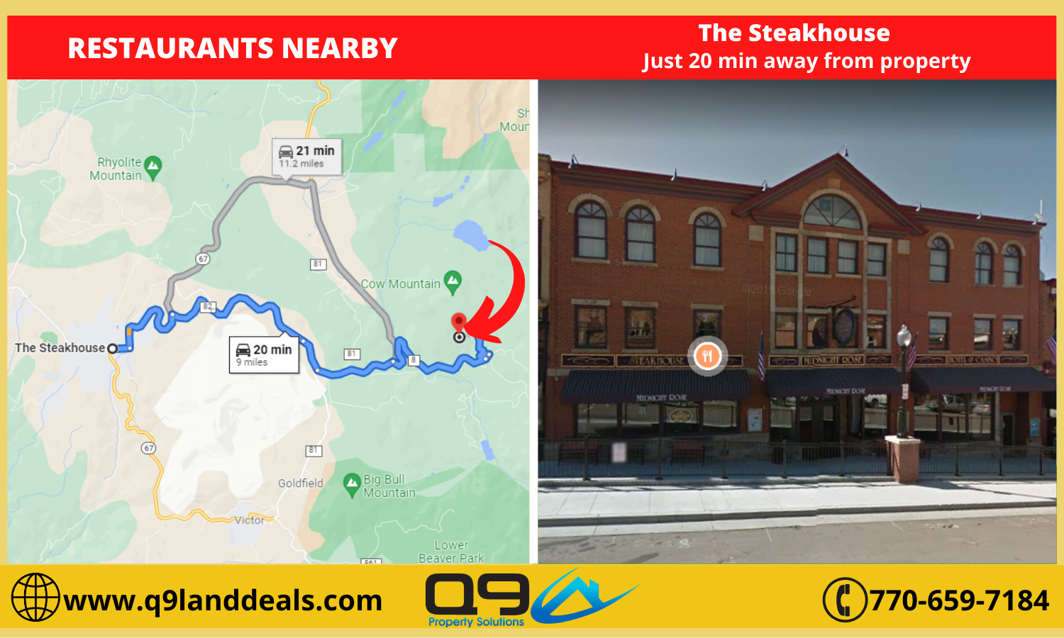
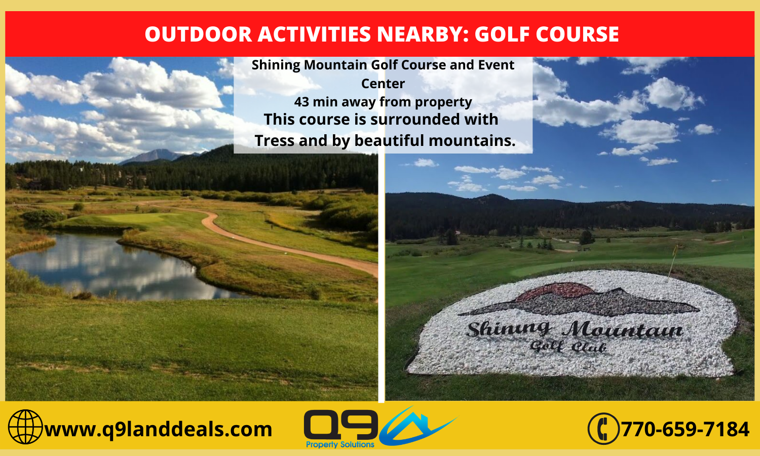
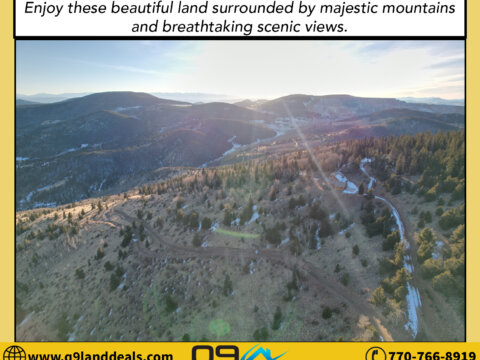
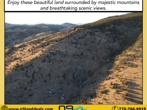
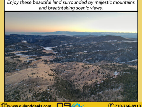
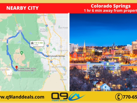
Located at the base of Pikes Peak, the historic mining town of Cripple Creek is surrounded by majestic mountains and breathtaking scenic views. The boom of Colorado’s Gold Rush put Cripple Creek on the map. For a bonus, take a side trip to the nearby town of Victor for a step back into the past of mining history.
Hit your call button and give us a ring at 770-766-8919!
Pricing Details:
Cash Price: $149,000
Property Details:
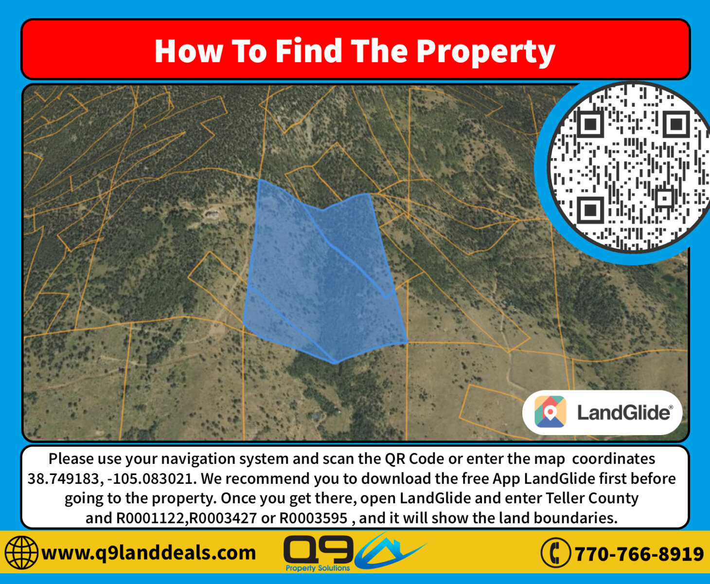
Parcel Number: R0001122,R0003427,R0003595
County: Teller County
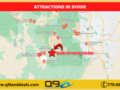
City: Divide
State: CO
Zip Code: 80814
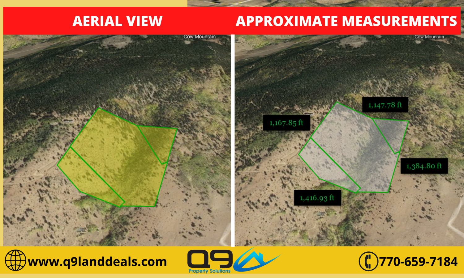
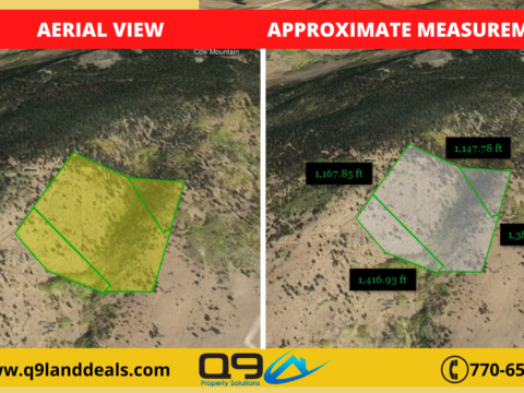
Parcel Size: 42.63 acres
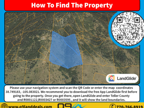
Center GPS Coordinates: 38.749183, -105.083021
Elevation: 10095.1 feet
Property Access: Landlocked
Property Tax: $3.64 (2021)
What is the zoning of the property? A-1 (AGRICULTURAL ZONE DISTRICT)
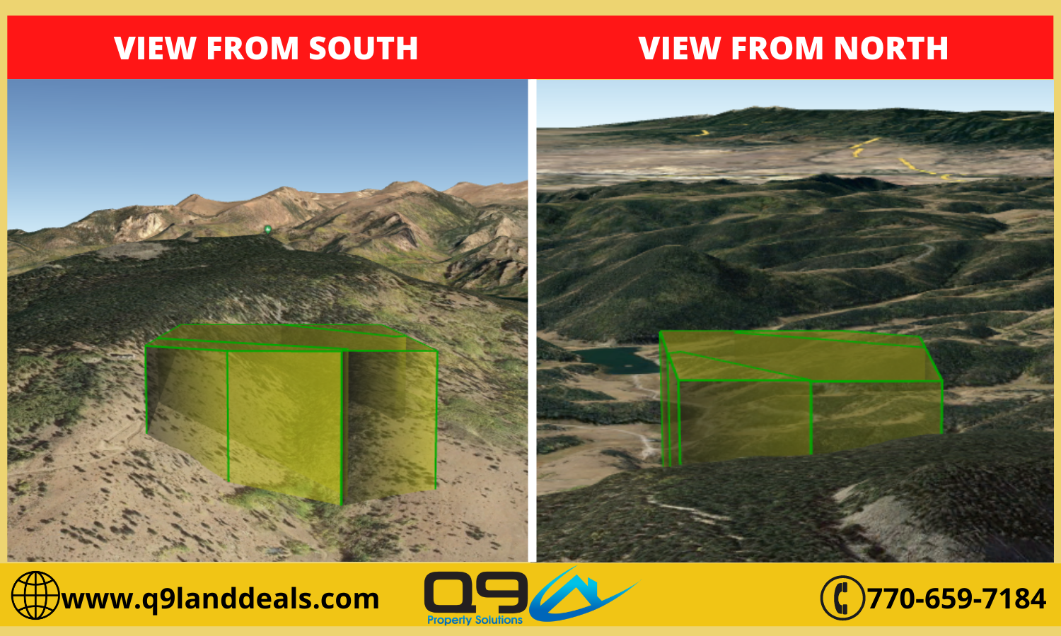
Terrain type? Level
Property use code? n/a
Is the land cleared? No
Is the property buildable? Yes
What can be built on the property? Accessory Dwelling Unit, Agricultural uses including general farming, forestry, and ranching; Animal Hospital / Veterinary Clinic: ≥35-acres only; Animals – pet animals; Animals – commercial and non-commercial domestic hoofed livestock; commercial and non-commercial small livestock, poultry, fowl; Camping on property less than 60 days/year; Child Care Center – 4 or fewer; Communication facility – roof or wall mounted; Communication facility – “stealth”; Dwelling – up to 3 single-family residential units (as restricted) (includes mobile home); Emergency services facilities; Essential services; Family Child Care Home: 5 or fewer; Foster Care Home: 5 or fewer; Guest House; Home Business – No Impact; Home Health Services/Home Health Care; Homemaker Agency/Services; Hospice care; Independent Residential Support Services; Livestock Boarding facility: ≥35-acres only; Personal Care Agency/Services; Public uses and facilities; Respite Care Provider/Services
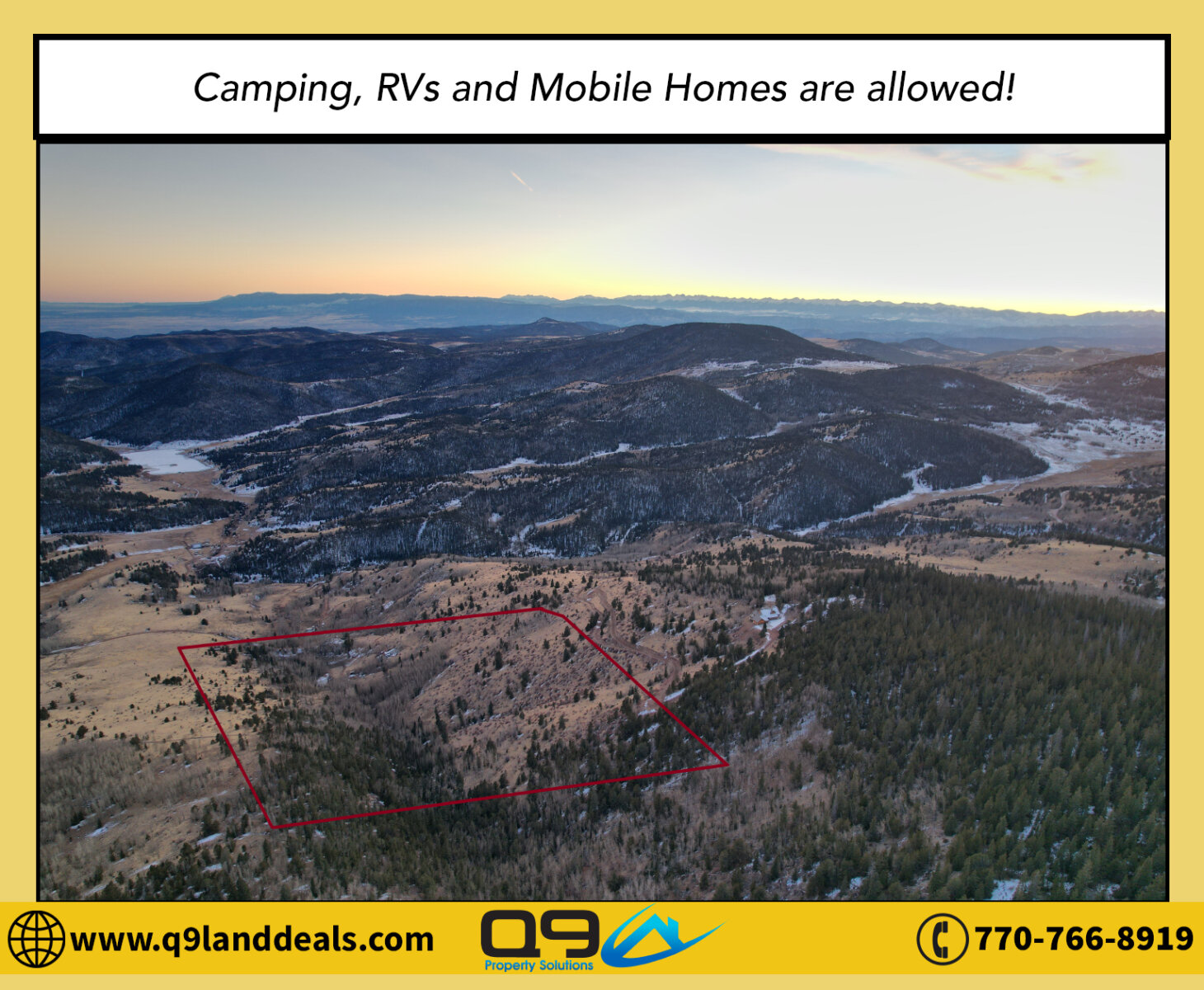
Can we camp on the property? Yes, With the appropriate camping permit.
Are RV’s allowed on the property? Yes, With the appropriate permit.
Are Mobile homes allowed on the property? Yes, Mobile homes are allowed
Are tiny houses or small cabins allowed in the property? Tiny homes are only allowed for camping units on private property
Is there a total size restriction for any structures on the lot? Structures that require building permits must be the standard and criteria of the applicable building codes.
Are there any building height restrictions? Residential = 35 feet Non-residential structures – 50 feet
What are the setbacks of the lot? 50 feet
What is the minimum lot size to build on the property? Setbacks must be met.
Is there any time limit to build? There are expiration dates to all building permits. Not aware of the exact days or years.
Is there a County or City Impact fee required to build and if so how much does this cost? None
Is the property in a flood zone and if so what needs to be done to the lot in order to build? The property is in a flood zone and you would need to contact the Flood Plain Administrator, Mr. Bryan Kincaid at 719-687-88122 to discuss development of the property prior to submitting any building permits.
Any other restrictions? ZONING ORDINANCE
County Operator Details who Confirmed the Information: Lynda Morgan, Teller County Planning; (719)686-5406 | TCPlanning@co.teller.co.us
Does the property have water connected? Water not available in the area, Would need to dig a well.
Does the property currently have Sewer or septic? Sewer not available in the area, Would need to install a septic
If the septic system has to be installed, do we need to percolate the soil? Yes
Does the property currently have electricity connected? Not connected but there is a box beside neighborhood for electricity
What type of gas does this area service? No gas
Will the county or city pick up the trash? None, Responsibility of the property owner.
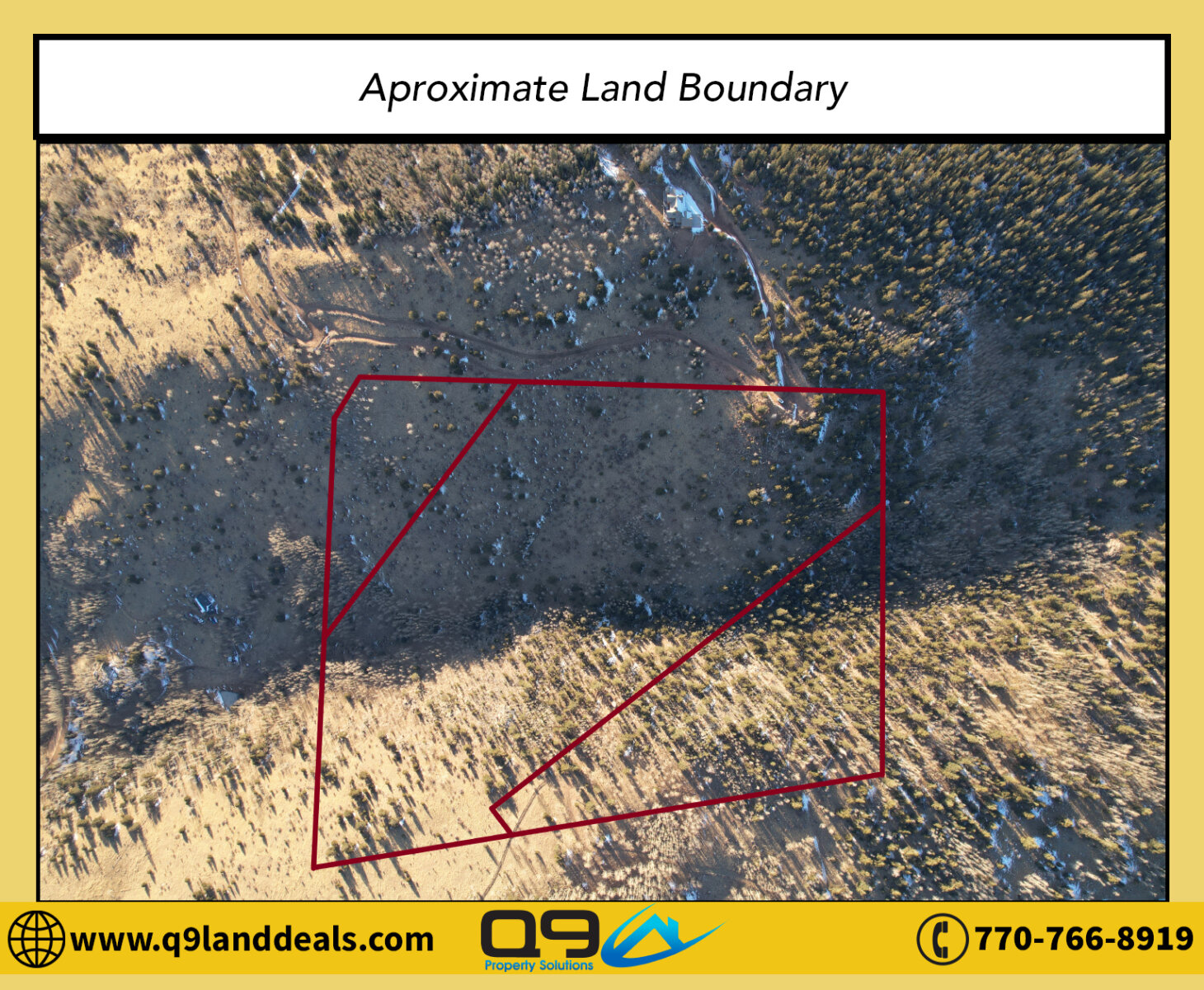
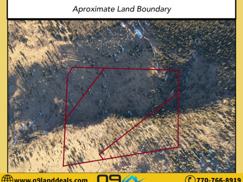
The Parcel number of the property is R0001122, R0003427, and R0003595. If you want to walk the property and see where the boundaries of the land are, you can plug the map coordinates 38.749183, -105.083021 into your phone in google maps. Or you can use a phone app called landglide and you would input the parcel number R0001122, R0003427, or R0003595 and Teller County and it would highlight the lot on the map for you. If you have specific questions on what can be put on the lot please call the building and zoning department of Teller County at 719.686.5414.
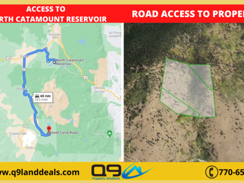
Directions:
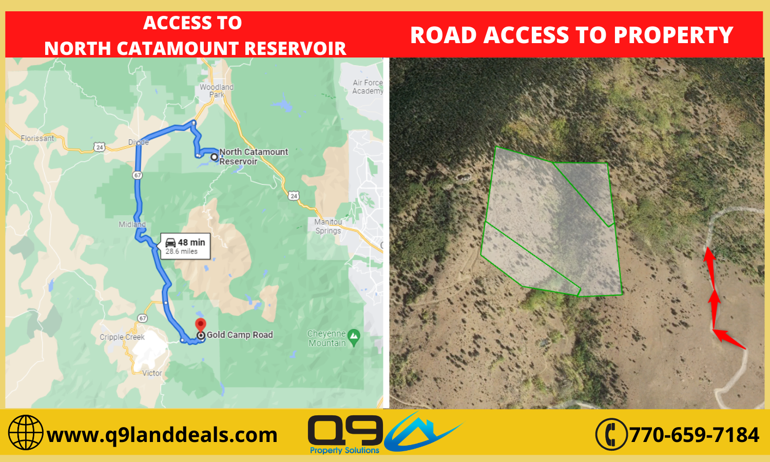
Coming from downtown Divide, CO, head south on CO-67 S for 13.5 miles and make a left onto Lazy S Ranch Rd., Hwy 81, then proceed for another 6.5 miles and make a left onto Upper Gold Camp Rd, or if you’re coming from the town of Victor and Goldfield traveling north, follow Lazy S Ranch Rd., and make a right onto Upper Gold Camp Rd. The parcel is located to your left, after driving 2 miles on Upper Gold Camp Rd. This is the location I launched and piloted the drone for the shoot, but keep in mind, the borders of this parcel do not touch Upper Gold Camp Rd., and no accessible road connecting Upper Gold Camp Rd. and the parcel. Yet, there is one dirt road that starts on Upper Gold Camp Rd., and it travels parallel along the whole west side border line, and then technically passes through the upper west corner within the parcel, but it is not accessible publicly. This dirt road is someone’s driveway. At first, I tried to drive up that road to launch the drone closer to the parcel, but I was stopped by the owner of the address right next door to the west, that in which this road directly leads too. He informed me that this is his private driveway, so I relocated back down on Upper Gold Camp Rd. This privately owned dirt road starts exactly 1.3 mile in from the beginning of the Upper Camp Rd. after turning off Lazy S Ranch Rd. If you aren’t going to attempt to access this private road, a little less than a mile past that, is where you can get the best view of the parcel from Upper Gold Camp Rd.
Road Condition:
The road conditions are good and paved, except until you turn onto Upper Gold Camp Rd. from Lazy S Ranch Rd. Upper Gold Camp Road is a dirt road, but it seems to be relatively well maintained, flat, and groomed, so I would say that a 4WD drive car is not required, in most cases, and you only have to drive on this road for 2 miles before reaching the parcel. Same goes for the private road that connects the Upper Gold Camp Road and the parcel, except this road is significantly steeper in incline, and thinner, so I recommended a 4WD drive vehicle for this road if the road conditions are affected by extreme weather conditions.
Financing Option:
This week I’m only selling this lot for only $149,000!!!
And if you don’t have the money or credit, I’ll still finance the deal for you as well!
No Credit Check. No Banks. Pay Off Anytime.
Seller Finance Price of $152,000
Only $50,000 down payment
Click Here to View Due Diligence Report
Offers: Click Here to Submit Your Offer
Photos: Click Here to View Pictures
View Video Footage: Click Here to Watch Drone Video Footage
Inventory: Click Here To View All Available Properties
If you’re interested in the deal please call or text or email us at
Don Enfectana 770-766-8919
land@q9properties.com
*Disclaimer – Buyers must perform the due diligence they should do with any land purchase. This land is sold as is and all information provided is to the best of the seller’s knowledge. Seller does not guarantee the accuracy of the property location on maps or descriptions shown in the listing as well as facts describing the property. Buyer to verify all details of the property including property location and boundaries and lot lines, as well as feasibility to use the property for buyer’s desired purpose. Many of the pictures provided are not personally taken by the seller and some of the presented pictures represent the general area near/around the property. All utilities related to this property are potentially subject to a connection charge or additional expense to bring them to or onto the property. Furthermore, It is understood and agreed to by the parties involved that the selling party, while holding an equitable interest in and to the property, is not presently making, and has not made, any representation to any party that it holds legal title in and to the property. To the fullest extent permitted by law, the Buyer hereby agrees to waive, release and forever discharge Q9 Property Solutions, Q9 Property Solutions, and all its affiliate companies from any claim, be it at law or in equity, that the Buyer, their heirs, transferees, assigns, subrogees, devisees, and agents may allege, arising out of our disclosure(s) of its present interest in and to the property, if any as well as out of any potential and accidental discrepancies in lot lines, pictures or property location to the actual property.